


USGS Provides a Long-Term Look at Changes in the Quality of Our Nation’s Rivers and Streams
By US Geological Survey
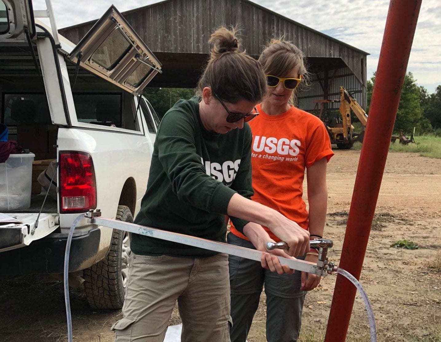
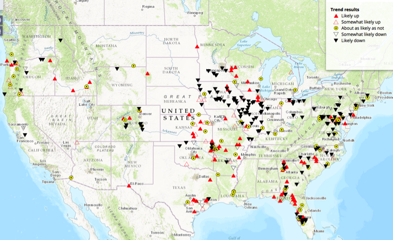
A new U.S. Geological Survey interactive map provides a comprehensive, long-term look at changes in the quality of our nation’s rivers and streams over the last four decades. For the first time, monitoring data collected by the USGS and 73 other organizations at almost 1,400 sites have been combined to provide a nationwide look at changes in the quality of our rivers and streams between the 1972 passage of the Clean Water Act and 2012.
Federal, state, and local agencies have invested billions of dollars since passage of the Act to reduce the amount of pollution entering rivers and streams that millions of Americans rely on for drinking water, recreation, and irrigation. Tracking changes in the quality of these waterways over multiple decades is crucial for evaluating the effectiveness of pollution control efforts and protecting the nation’s water resources into the future.
The interactive map can be used to see whether 51 water-quality constituents, like nutrients and pesticides, and 38 aquatic-life metrics, like the types and numbers of fish, macroinvertebrates, and algae, have increased, decreased, or remained the same at nearly 1,400 sites between 1972 and 2012.