


Researchers Evaluate Vulnerability of Streams from Changes in Land Use
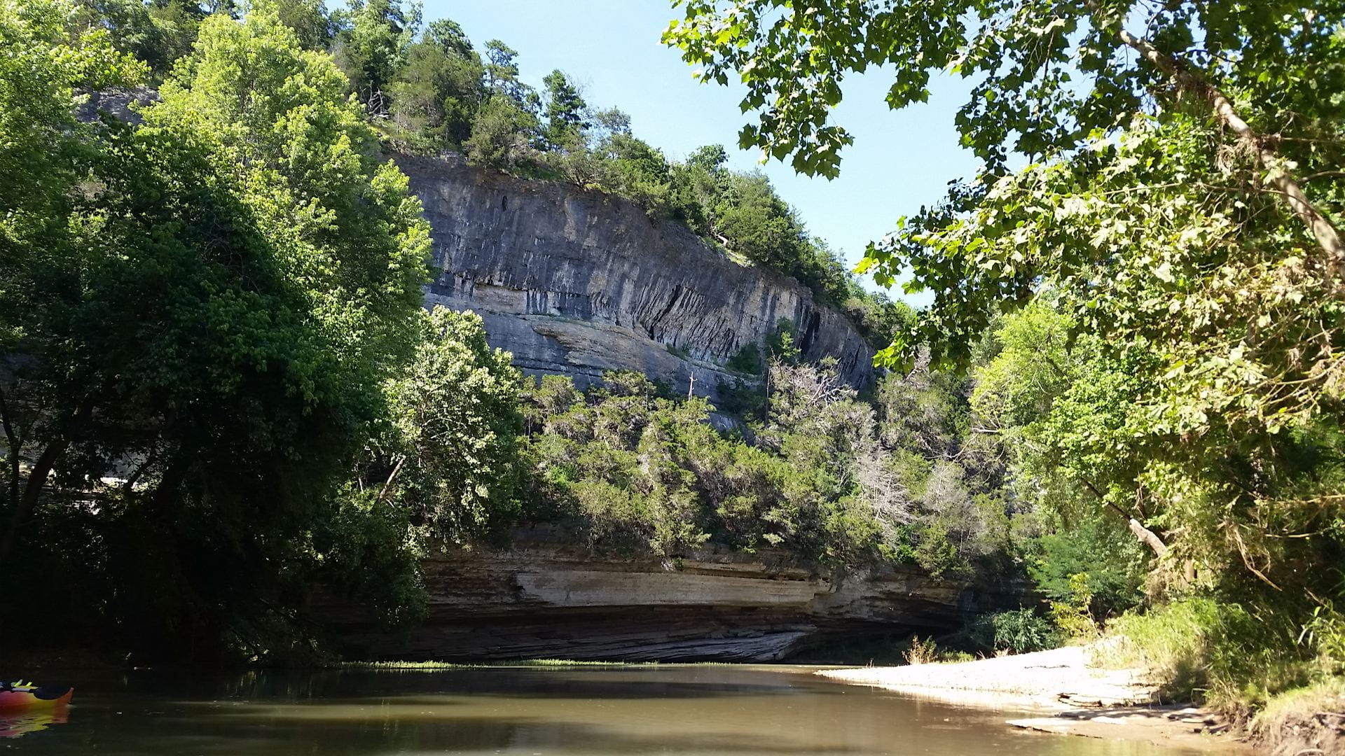
The Problem: Due to increasing population growth and demands for food and energy, land use in Arkansas is changing, especially in the Central and Northwest regions. As humans modify the landscape, water quality can be negatively affected. But, the natural characteristics of the landscape can also influence the extent that streams and rivers might be impacted. For example, when forests are replaced with pasture land, nearby streams and rivers with more sloped channels and erosive soils might be more vulnerable to nutrient and sediment pollution compared to streams with less sloped channels and less erosive soils.
So What?: The development of land in Arkansas for food and energy production is paramount for the success of our State’s economy. But, good water quality is also important to the economic success and public health of all Arkansans by providing recreational benefits and clean drinking water. Land and resource managers must balance the need to develop land with the need to protect the natural environment and water quality.
The Research Question: Dr. Sally Entrekin, associate professor of Biology at the University of Central Arkansas, and Lucy Baker, graduate research assistant, wanted to know: are some streams more vulnerable to water quality problems due to their natural landscape characteristics?
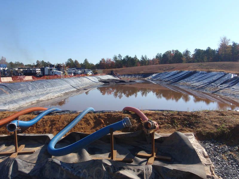
The Methods: Stream water quality can be influenced by characteristics of the natural environment, known as sensitivity variables, and by human alteration of the environment, known as exposure variables. To evaluate the vulnerability of sub-watersheds to changes in land use, Entrekin and Baker studied both. Sensitivity variables considered in this study included soil erodibility, slope of the land, number of streams, percentage of wetlands, precipitation and soil permeability. Exposure variables included characteristics such as percent pasture land cover, impervious surfaces, road density, and the density of natural gas wells in a sub-watershed. They evaluated each of these variables in 140 sub-watersheds. They ranked all variables in each class – the sensitivity and the exposure – across all sub-watersheds and summed the variables for a total score for each class. To define the vulnerability of a sub-watershed, they multiplied the sensitivity score by the exposure score.
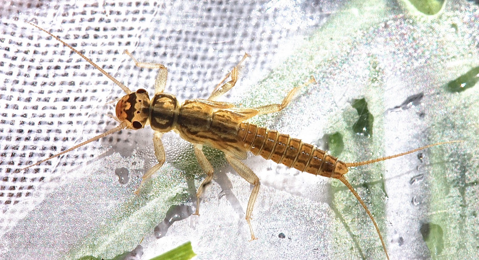
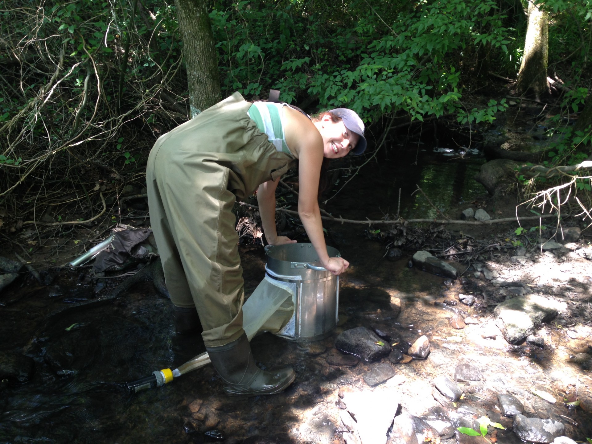
Next, they selected a stream site in 40 of the sub-watersheds, which represented a gradient of vulnerability scores, with particular attention to natural gas development across the landscape. At each of these 40 sample sites, they collected and identified macroinvertebrates to evaluate water quality using biological indicators such as diversity and the percentage of sensitive organisms. They were then able to relate the level of vulnerability of each sub-watershed to these biological indicators of stream water quality.
The Findings: Entrekin and Baker measured decreases in the diversity and the percentage of sensitive organisms in the streams that had higher sensitivity scores, or were naturally more prone to water quality problems. Higher exposure scores, or measures of human alteration of the landscape, also resulted in decreases in diversity and sensitive organisms in streams. However, the vulnerability score, which combined sensitivity and exposure scores, was better at predicting decreases in water quality. This means that water quality is highly dependent on both natural characteristics and human alterations of the landscape. Surprisingly, there was no difference in the biological indicators of water quality across the gradient of natural gas development compared pasture land cover, meaning that both activities were equally stressing to the landscape and water quality.
The Benefits: Entrekin and Baker demonstrated that some areas in Central Arkansas are more prone than others to degraded water quality due to both natural characteristics and human alterations of the landscape. This knowledge can help guide land and water resource managers in deciding where new developments should go and where they shouldn’t go in order to protect water quality.
This material is based upon work supported by the U.S. Geological Survey under grant agreement No. G11AP20066 and administered by the Arkansas Water Resources Center. The views and conclusions contained in this document are those of the authors and should not be interpreted as representing the opinions or policies of the U.S. Geological Survey.