


Mapping Water from Space and Ground: How New USGS Tools Help Arkansas Understand Its Water

Two exciting developments from the U.S. Geological Survey (USGS) are providing better ways to understand water resources across the Nation and here in Arkansas. These new tools work together, showing how water moves above ground and how the rocks below ground affect where that water goes.
Eyes in the Sky Watching Arkansas Waters
The USGS has recently launched a new tool called Water Information from Space (WISP), which utilizes satellite data to monitor water levels in rivers, streams, and lakes across the United States.
The free, publicly accessible tool enables anyone to track water conditions in their community easily. From Arkansas farmers checking if rivers around them are running high before planting season, and engineers incorporating the satellite observations to improve spillway warning systems, reducing both false alarms and dangerous oversight
failures.
The Underground Story: Arkansas’s New Geologic Map
At the same time, USGS unveiled something equally important happening below ground. The new USGS map, called the Cooperative National Geologic Map, was created using more than 100 preexisting geologic maps from various sources and is the first nationwide map to provide users with access to multiple layers of geologic data for a single location.
Why does this matter for water? The rocks and soil underneath Arkansas act like a giant plumbing system. Some stones, such as sandstone, allow water to flow through easily. Others, like clay, block water from moving. Our Nation’s geology informs decisions about resource management, critical mineral assessment, water quality modeling, infrastructure development, and risks posed by natural hazards.
How It All Connects in Arkansas
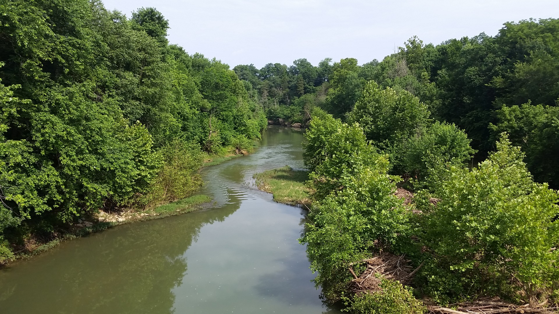
Arkansas sits on some of the most important water-bearing rocks in the country. The Ozark Mountains in the north have limestone that creates springs and caves. The Mississippi River lowlands in the east have deep layers of sand and gravel that hold massive amounts of groundwater.
When satellites see water levels dropping in the Arkansas River, the new geologic map can help explain why. The sandstone aquifers below are running low, or clay layers are preventing rainwater from refilling underground supplies.
For Arkansas rice farmers, this combination is especially valuable. They can use satellite data to see surface water availability while checking the geologic maps to understand if their wells tap into reliable underground water sources.
What This Means for Arkansas Communities
These tools help answer everyday questions that matter to Arkansas residents, such as whether the fishing lake at the state park is getting too shallow or how new development will affect local water supplies.
Users can browse water data through an interactive map, search by location or water body name, and download time series information for research or planning purposes. This means city planners across the state can make better decisions about where to build new neighborhoods, and conservation groups can track how lake levels change through the seasons.
The combination of space-based water monitoring and detailed underground maps provides Arkansas with a comprehensive picture of its water story. For a state where water supports everything from agriculture to tourism, these new tools couldn’t have come at a better time.
Both the WISP satellite water tool and the Cooperative National Geologic Map are free and available to the public online.
Due to a lapse in appropriations, the majority of USGS websites may be unavailable or not be up to date and may not reflect current conditions. Websites displaying real-time data, such as Earthquake, Volcano, LANDSAT and Water information needed for public health and safety will be updated with limited support. Additionally, USGS will not be able to respond to inquiries until appropriations are enacted. For more information, please see www.doi.gov/shutdown.
However, these tools will be up to date and fully functional once the government reopens.